Deba
Spectacular beaches and cliffs, cretaceous limestone massifs, archaeological sites, Saint James Way, extraordinary Gothic monuments, our gastronomy and our festivals offer us the possibility of an authentic journey of discovery through geological time as well as the culture and tradition of a millenary town.
Location - How to get here
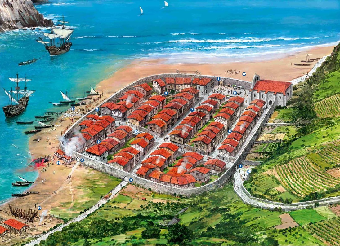
History and heritage
Beaches, waves and the flysch
Countryside, prehistory and the karst
Walking the streets
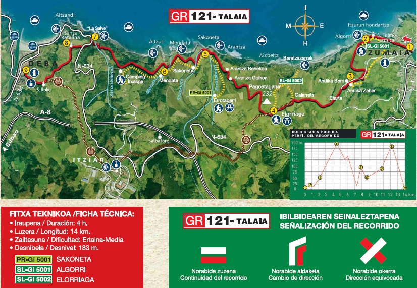
Walking routes and active tourism
Festivities and celebrations
Basque Coast UNESCO Global Geopark
Location
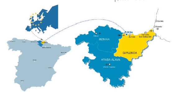
Historic territory: Gipuzkoa
Region: Debabarrena
Extension: 51,9 km²
Population: 5.458 (2018)
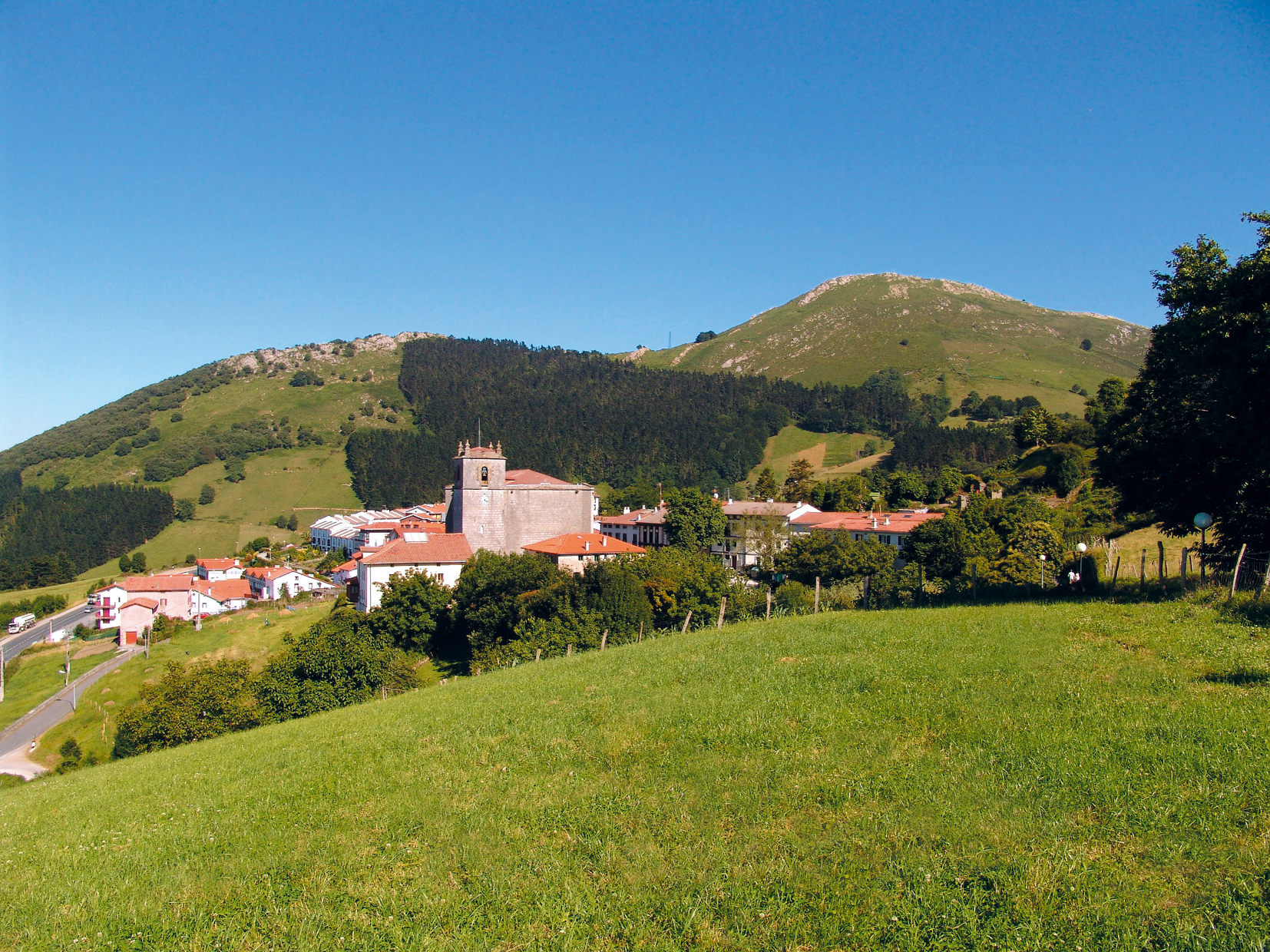
The town of Deba is located on the westernmost part of the Guipuzcoan coast, at the mouth of the Deba river. Very close to the neighboring town of Mutriku, border with the historical territory of Biscay, and a few kilometres from Zumaia, towns that make up the Basque Coast Geopark. In addition to its urban area located on the seafront, it has a series of small rural neighbourhoods full of charm, such as Itziar, Lastur and Elorriaga. And all this, within a natural framework in which its landscapes form a perfect fusion between the blue of the sea and the perpetual green of its mountains.
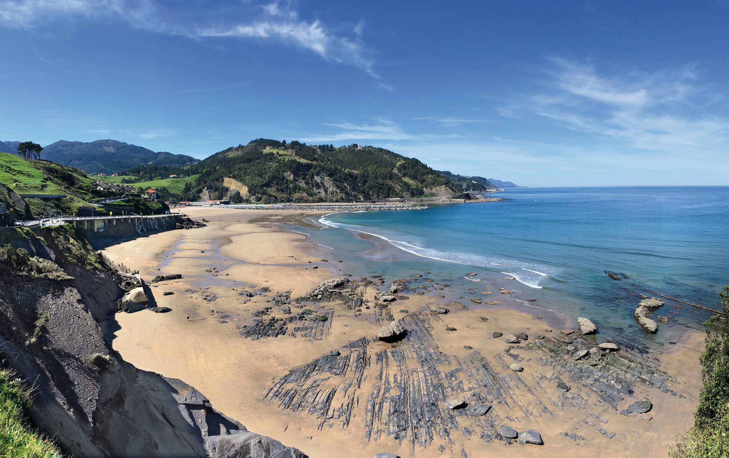
Beaches, waves and the flysch
Deba has two beautiful beaches close to the town centre. Both, Santiago and Lapari have ISO 14.001 certification and waves of unbeatable quality for surfers of all levels. Above them, as a long viewpoint, the promenades of Cárdenas and Pablo Sorozábal go all over the coastal profile, offering us spectacular panoramic views of the coastline and the Cantabrian Sea. 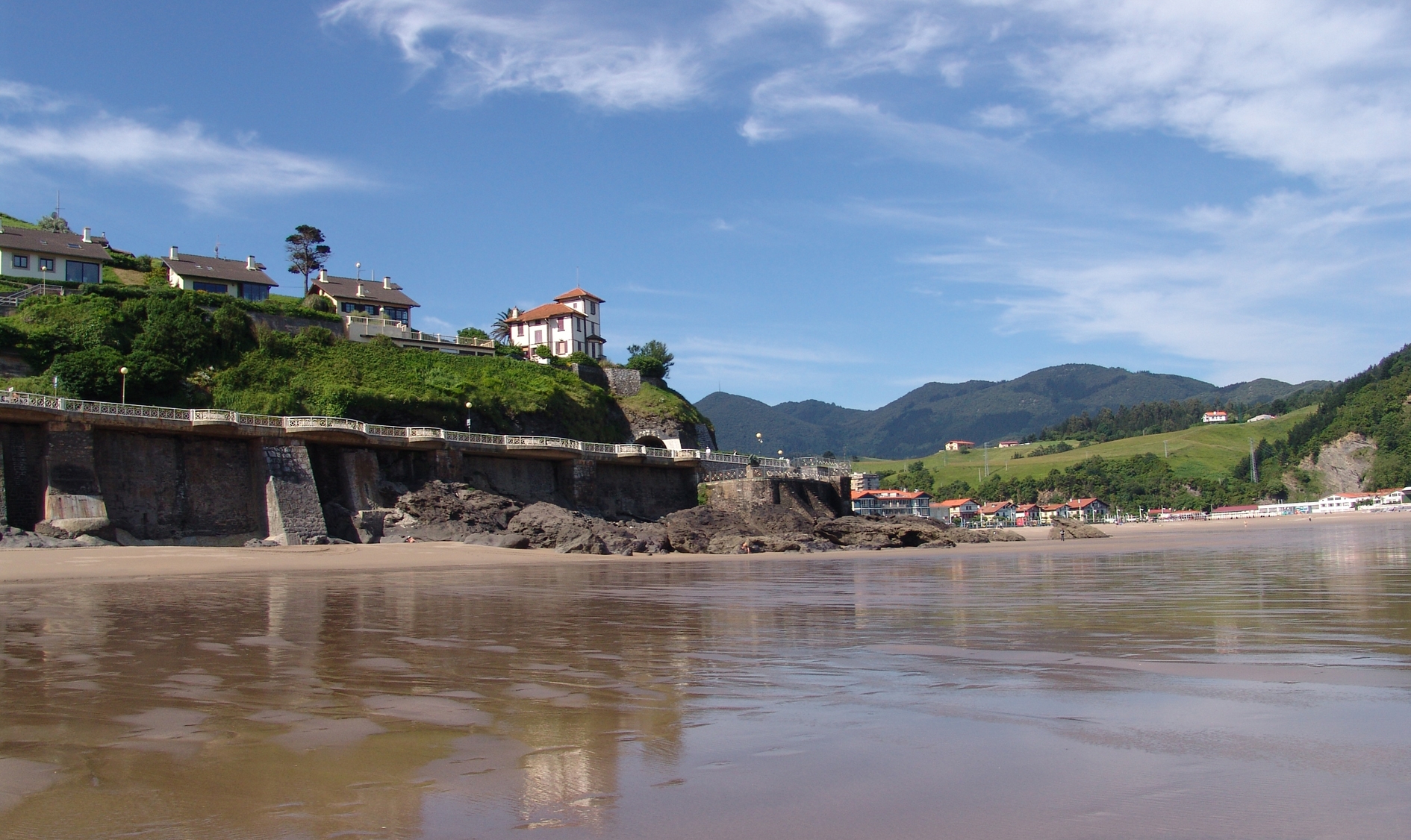
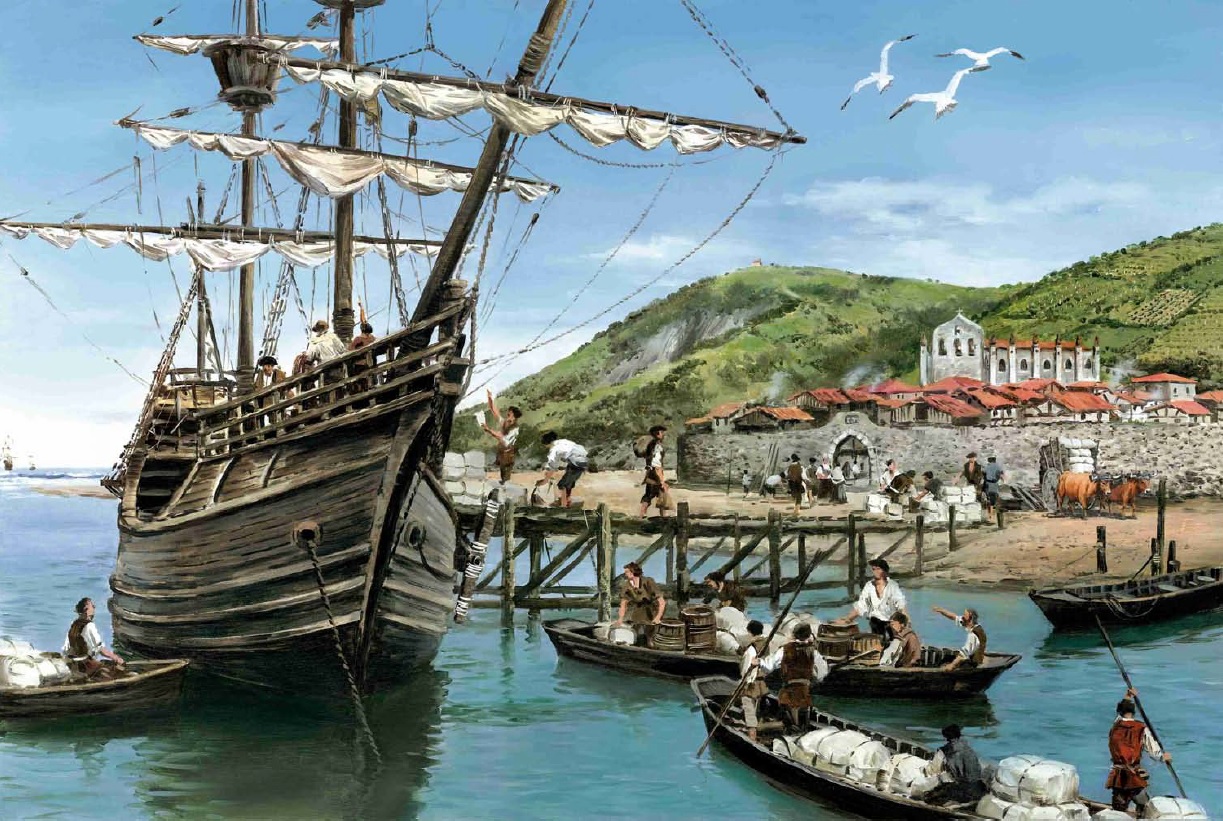
The estuary, which for centuries presented the economic axis of the town, has become a recreational and leisure element. One of its banks hosts the small and charming marina. On its docks, daily, shore and boat fishermen talk about the success of their catches. On the opposite bank lies the protected area of Casacampo, a delightful wetland to which cormorants, herons and several species of mud-living birds return every year.
Deba also boasts about many walks, gardens, and parks that occupy almost a third of the urban surface. A good example of this is the Calbeton park, a beautiful wooded and landscaped area of two hectares, for the comfort of children and adults.
The flysch of Deba
 The coastal strip of Deba is considered one of the most interesting in the world, due to its biological wealth and geological formations. It is declared protected biotope and it is one of the most amazing places of the Basque Coast Geopark.
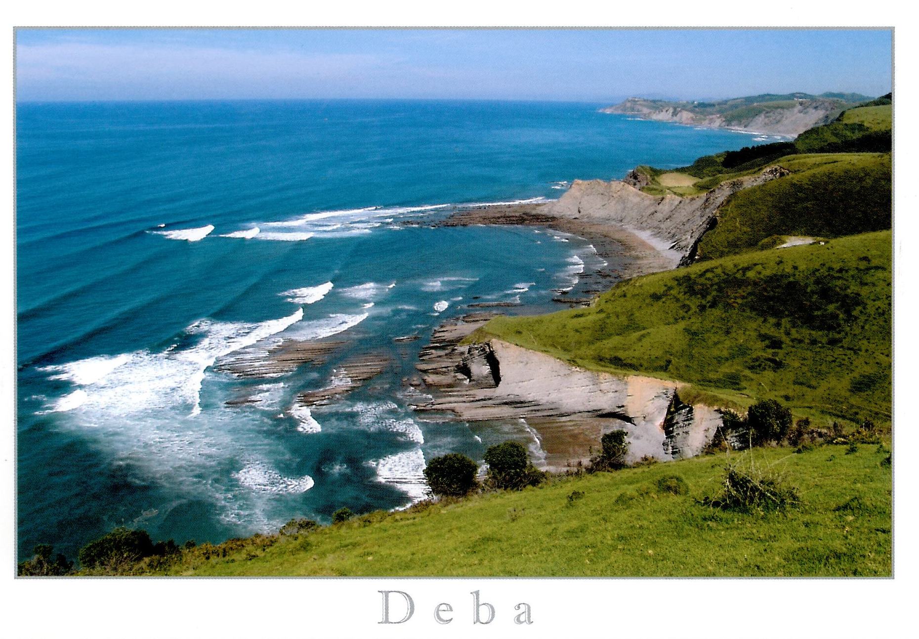
It has some spectacular flysch formations, especially in the areas of Mendata and Sakoneta. The flysch is a phenomenon caused by sea erosion on hard and soft stratums, causing the rocks to get hundreds of metres into the water like a huge ribcage. It is quite a striking sight, especially at low tide.
All along the coast, there are many hidden beaches and coves; some of sand, others of boulders. It is a paradise for nature-lovers seeking isolation and calm.
On the cliffs above the sea, there are small neighbourhoods such as Elorriaga and Itxaspe and the mountain Santa Catalina, one of the most breathaking viewpoints of the entire Cantabrian coast. At its feet, the mountain is divided by the main road that winds along the cliffs, inviting us to stop at the panoramic viewpoints of La hilandera and La Salve. The stop along the way is worth it: the view over the coast is unique.
Walking the streets
Strolling through its narrow streets, in no hurry, but with eyes and hart wide open, there is so much for us to discover: a delicious pintxo, a unique building, a fascinating history, a new friendship... The information panels in the historic center share the history and evolution of the municipality with us.
 |  |
|
|---|---|---|
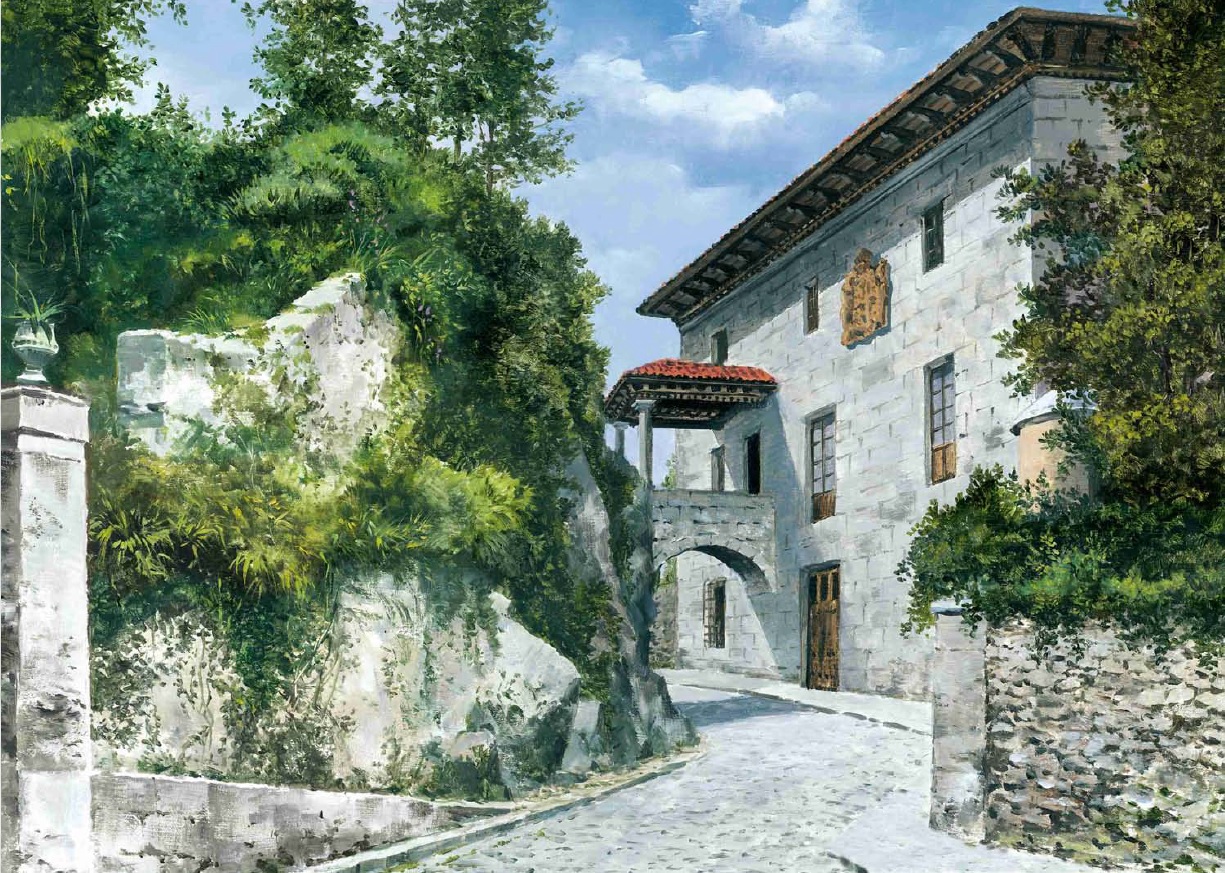
| The town of Deba | Deba and its stone | |
 |
 |
 |
| Pilgrim's station | The Aguirre palace | The Flysch Route |
 |
 |
 |
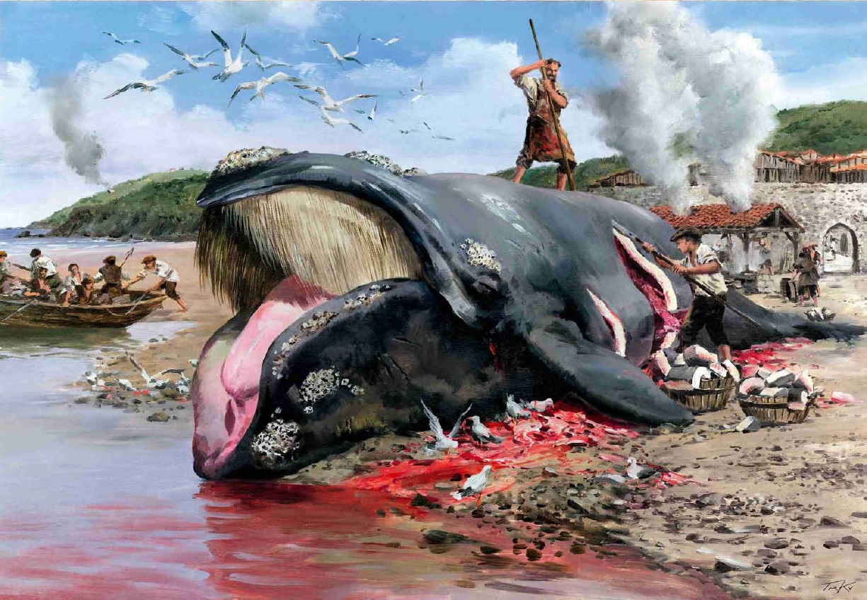
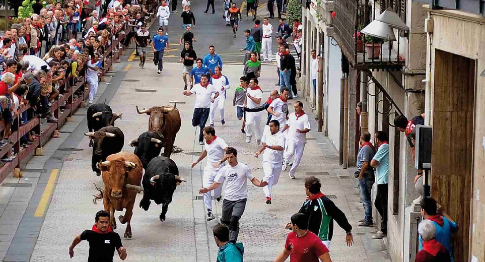
| Deba and the whale | Deba and the bulls | The suburb of the towers |
 |
||
| Itziar |
Countryside, prehistory and the karst
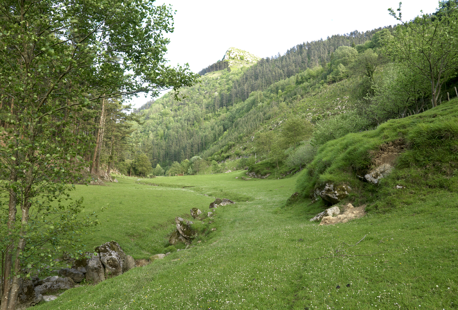
Moving inland from the coast, we discover the world of karst; a spectacular landscape created by the erosion of limestone, formed in the distant past under a tropical sea. The chalky composition of the stone and the effect of water upon it for millions of years, explain the existence and proliferation of numerous caves, chasms, channels, sinkholes, underground rivers, ravines and rocks of capricious forms.
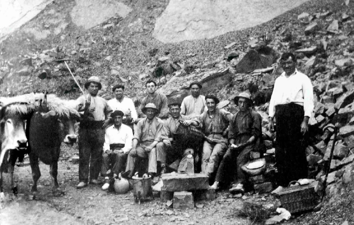
Humans have occupied the Deba valley for about 200,000 years. Deba has more than fifty caves and prehistoric sites that constitute one of the most important groupings from the Paleolithic period on the entire Cantabrian coast. The important archaeological remains found in this environment confirm the presence of two types of humans: Neanderthals and Cro-Magnons. It is not a coincidence that many have denominated the area "the little Dordogne".
Almost all of the inland area of the municipallity of Deba is within the geographical area of the Izarraitz massif, an area proposed as a "Site of Community Importance" (SCI). It is in this area where Itziar, the Lastur valley, as well as the small rural nucleus of San Nicolas de Lastur are found.
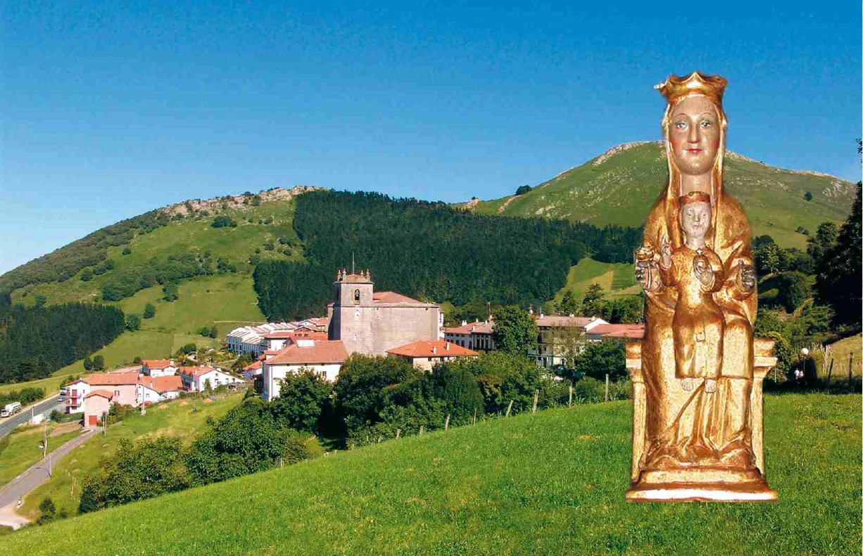
Itziar
Only 6 km from the urban center of Deba, at the foot of the karst massif of Andutz, is Itziar, an important center of devotion to Mary, where the sanctuary of the same name is located. The temple is presided over by the Romanesque image of the Virgin of Itziar (12th century), one of the most beautiful of Basque iconography, inspiring great devotion among these seafaring people.
Next to the Itziar sanctuary is the sculpture Amatasuna (Maternity) by Jorge Oteiza. Developed as a tribute to his wife Itziar, it represents the concept of motherhood in the broadest sense of the word. Contemplating it from different angles, it offers three different visions, three transcendental moments of motherhood. It is an existential gap that, just as a mother would, protects all visible surroundings, Amalur (Mother Earth).
Itziar is an ideal starting point for excursions into the surrounding areas. From here, we can walk to the neighboring areas of Endoia, Mardari, Arbiskoa or Lastur, and climb to the summits of Andutz (613 m.), Otarre (663 m.), Agiro (739 m.), Sesiarte (758 m.) and Erlo (1030 m.), authentic panoramic viewpoints of spectacular Basque geography.
Lastur
Continuing inland, we will enter the Lastur Valley, a paradisiacal place worth visiting to discover it slowly, on foot and without haste.
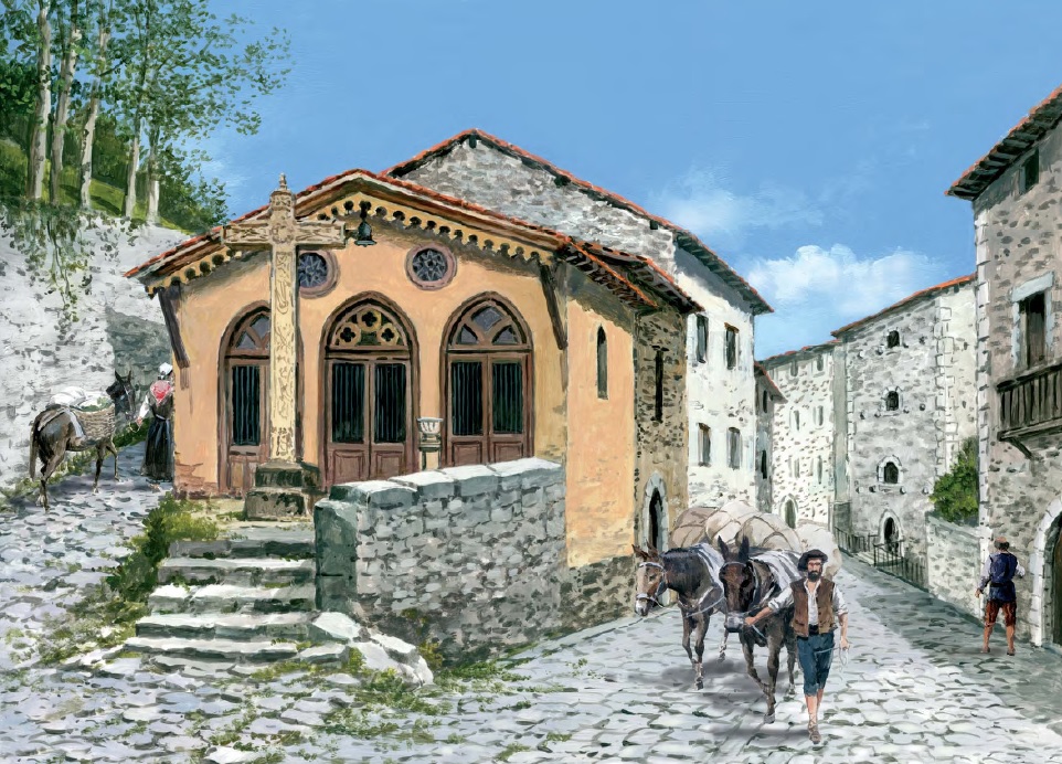
At the end of the valley is the tiny rural nucleus of San Nicolás de Lastur, which has a shrine of the same name, the Plazaola mills (former ironworks), a fronton, just four and the hostel, where we can visit the karst interpretative space and get to know through information panels, photographs and illustrations, the history and traditions of this valley, its link with stone and its geological characteristics, as well as the ways of life and customs of its inhabitants. A valley where the farmhouse, the caves, the water, the limestone and the bulls are the main protagonists.
The Lastur valley appears already mentioned in a document of 1335, in which King Alfonso XI, at the request from the foundries of the valley, authorised trees to be cut in the nearby communal mountains. As time goes by, the foundries of the valley became mills and witnesses to this are the Plazaola mills, which can be visited in a perfect state of conservation and operation.
From the same square, next to the shrine begins the path PR-46 or the Karst Route. A route of great scenic and geological value through the heart of the Geopark.