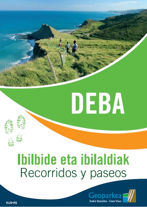
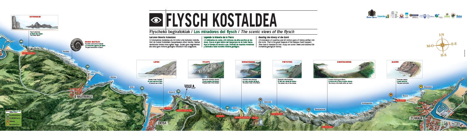
Walking routes
For those who want to walk their own way, the tourist office has some leaflets with information about different hiking/walking routes. On a selection of walking trails we see the great variety of products and natural resources in our municipality. In fact, in terms of landscape, nature, geology, history and ethnography, Deba offers many tours of different levels: the Saint James Way, routes for Nordic Walking, Geo routes of Geoparkea and some proposals you will find below. Whichever you may choose, do not forget to respect the environment. Remember these guidelines and take them into account!
Debako bira
Karst tour
The cliffs of Sakoneta
The viewpoint of Elorriaga
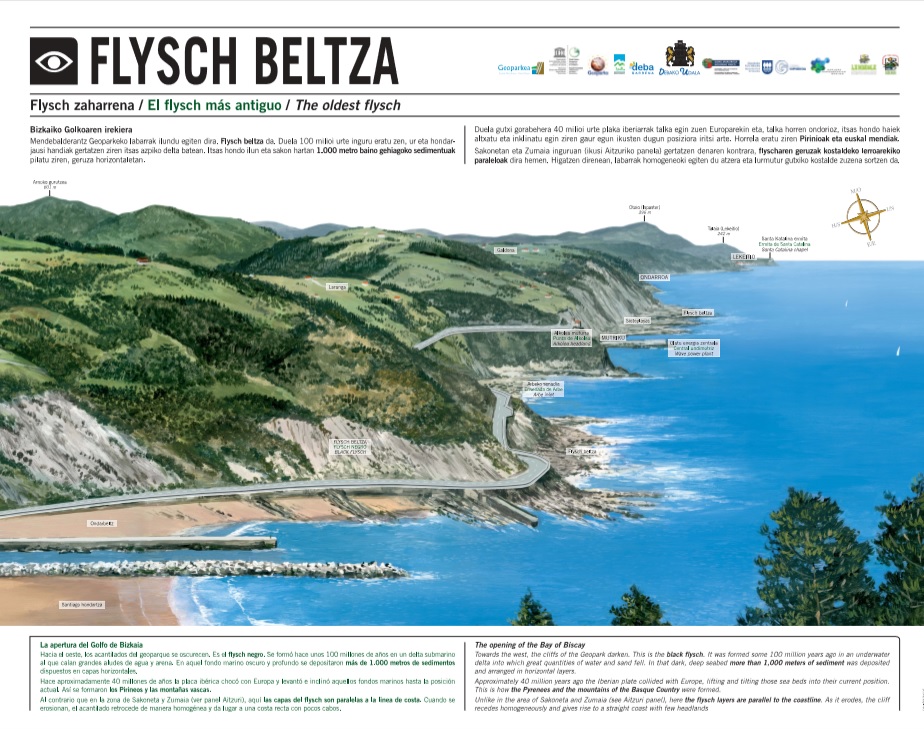
Black flysch
Nordic Walking 
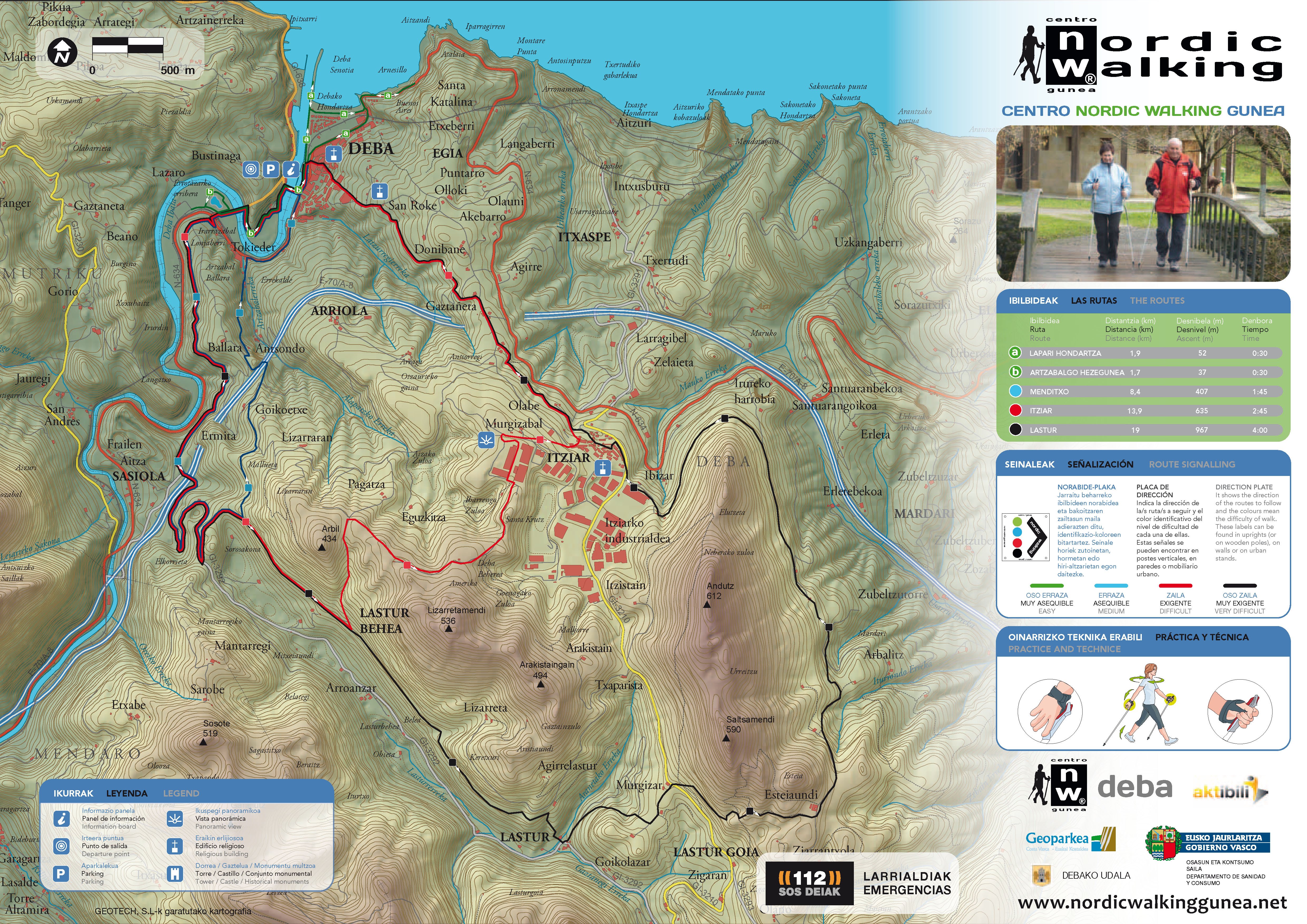
Nordic Walking is a form of walking that includes not only the action of the legs as in the normal way, but also the upper body. It consists of walking with two specialized sticks that are designed only for this modality.
It is a new movement for the body; it is pleasant and very effective and it acts lightly but effectively, improving muscle strength, cardiovascular system, coordination and movility.
This area is appropriate for practicing Nordic Walking and the Nordic Walking Centre of Deba offers five routes of different levels.
Guidelines
|
Respect our farmers' work. |
|
Walking routes
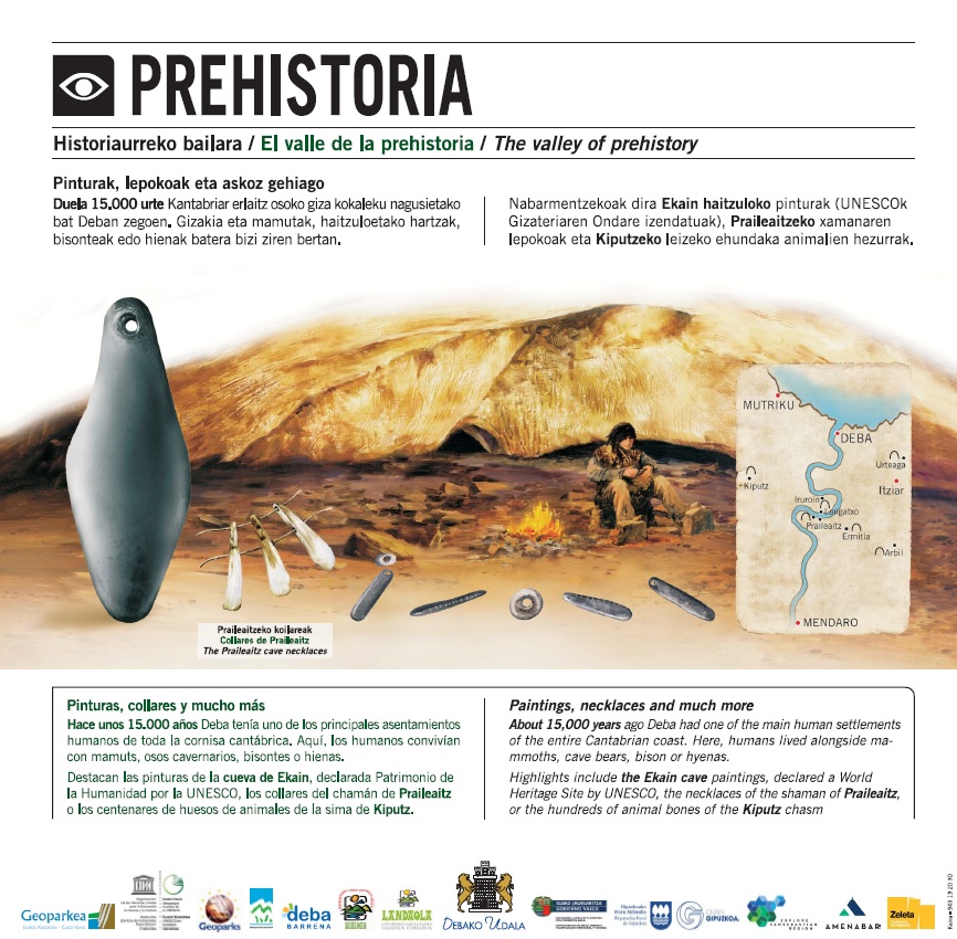
The prehistoric valley
A walk that begins in Deba, goes to the neighbourhood of Artzabal, and from there, through the old road on the river Deba, it takes us to Sasiola. The route runs largely on the mid-slope of Mount Ermitia, an area rich in caves such as Ermitia and Praileaitz, as well as the paleolithic prehistoric sites of great value.
|
Duration: 1h 15' Length: 5 km Difficulty: Easy Starting point: Maxpe street Finishing point: Sasiola |
Track GPS - Wikiloc
On the way:
Meanders and banks of the river Deba
Karst landscape. Arno-Izarraitz corridor
Karst pinnacles of Astigarribia and Iruroin
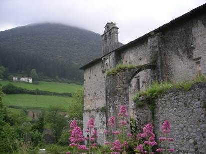
Roadway and Convent of Sasiola
The marshlands of Casacampo
It is a circular route that crosses the Deba estuary twice on its way to reach the Artzabal wetland. The marshes are environmentally sensitive and dynamic areas marked by the influence of the tides that cover it twice a day and determine a very peculiar flora and fauna.
|
Duration: 30' Length: 2 km Difficulty: Easy Starting and finishing point: Walkway Anes Arrinda |
Track GPS - Wikiloc
On the way:
Deba and the bulls
Since ancient times it has been customary in Deba to include games with bulls in all kinds of festive events and celebrations. Through this walk we will discover the route that the bulls made from the Arriola neighbourhood to the town of Deba. Likewise, we will visit the only cattle ranch with own iron of all the CAPV.
|
Duration: 45' Length: 2 km Difficulty: Easy Starting point: Foruen plaza (main square) Finishing point: Perlakua-Saka (Arriola) |
Track GPS - Wikiloc
On the way:
The Agirre palace and the Sasiola tower
Cattle Marqués de Saka
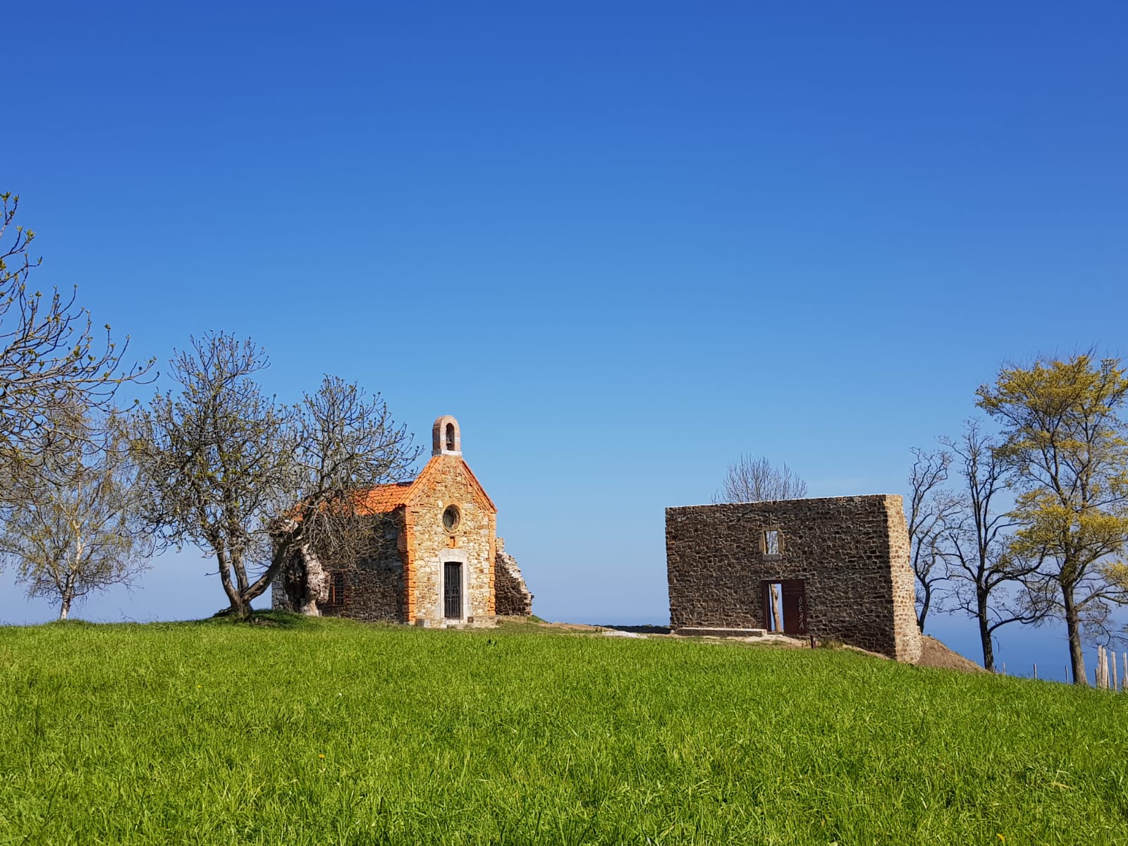
Santa Katalina
Santa Katalina is a genuine watchtower from which you can make out a large part of the Basque Coast. An exceptional viewpoint where the wonderful landscape of the coast joins the karst landscape inside the Geopark.
|
Duration: 45' Length: 2 km Difficulty: Easy Starting point: Foruen plaza (main square) Finishing point: Santa Katalina |
Track GPS - Wikiloc
The scenic view of Santa Katalina:
| Santa Katalina | Arno | The prehistory |
 |
 |
 |
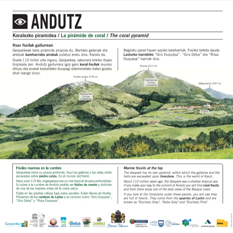
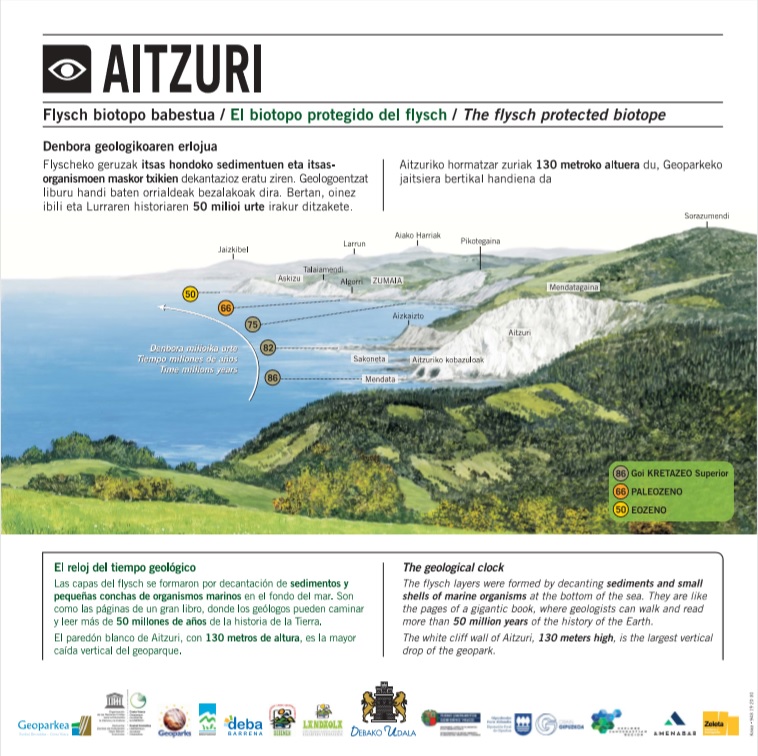
| Andutz | Aitzuri | The black flysch |
 |
 |
 |
 On the way: